
Growing up in Canmore, I was a victim of the Bow Valley bubble; it was as if nothing existed beyond Calgary, aside from the Okanagan and the West Coast, of course.
So, it took me a long time to realize there’s a spectacular province beyond the Rocky Mountains. I would have learned that much sooner if I had Dale Leckie’s new guidebook, The Scenic Geology of Alberta: A Roadside Touring and Hiking Guide.
Within Alberta’s vast borders (some 661,800 square-kilometres) are many geological regions – mountains, foothills, prairies, lakes, rivers, and badlands that are all shaped by glaciation – home to many beautiful landscapes and locales. Some of these locales are world-famous, such as the Rockies and the Drumheller region, including Dinosaur Provincial Park.
Other sites speak of the long and profound connection First Nations and Indigenous people have to these landscapes. Those sites include Head-Smashed-In Buffalo Jump and Writing-on-Stone Provincial Park / Áísínai’pi National Historic Site, with both being UNESCO World Heritage Sites. The connection Indigenous people have with these places add great depth to Alberta’s geological story.
As a result, there’s no end to amazing places to explore; although, it's often hard to know where to go and even harder to understand the complex geological story behind each place once you get there.
And that’s where Leckie comes in with his ability to share Alberta's geological story, which he does in a comprehensive way that readers can understand easily – it’s kind of his superpower.
Although, that’s not surprising as Leckie has been sharing Alberta’s geology in one way or another throughout his entire career. Over the years, he’s worked as a geologist, an educator and a writer/editor.
To help readers understand and explore Alberta’s geology, Leckie has separated the province into seven regions. These regions stretch from the Buffalo Head Hills and Cold Lake in northern Alberta, south to Writing-on-Stone / Áísínai’pi and from the Rocky Mountains east to Cypress Hills.
Each location Leckie features share two things: they exemplify Alberta’s geological history, and they’re readily accessible by car and by foot.
And one of the fascinating things about these places is their geological story is never quite what we assume.
For example, take the geological story of Dinosaur Provincial Park, which with the Oldman Formation laid down as silt by wide rivers that flowed north from Montana during a warm, dry period.
As the climate grew more humid, swampy forests took root as rivers began to move sinuously across a broad coastal delta that saw heavy rains and frequent flooding. The flooding drowned and buried untold thousands of dinosaurs, leaving what is known as the Dinosaur Park Formation with its bone beds.
The Bearpaw Sea, a shallow portion of the Western Interior Seaway, gradually flooded the region. The rising seawater pushed the dinosaurs west and buried the bone-bearing layers in a layer of thick mudstone. Finally, glaciation and enormous floods shaped Dinosaur Provincial Park as we know it today.
What surprises me is the Bearpaw Sea came after the Oldman and the Dinosaur Park formations – all those dinosaur bones lay underwater long before the glaciers appeared. That may be a simple observation, but it's one I have perpetually misunderstood.
But that’s what makes The Scenic Geology of Alberta great: it helps us average explorers make the connections and better understand and appreciate Alberta.
To do so, Leckie uses simple, yet clear explanations, numerous sidebars, illustrations, maps and photographs. Finally, he included regional trip planners that provide short hikes with distances, cautions and directions.
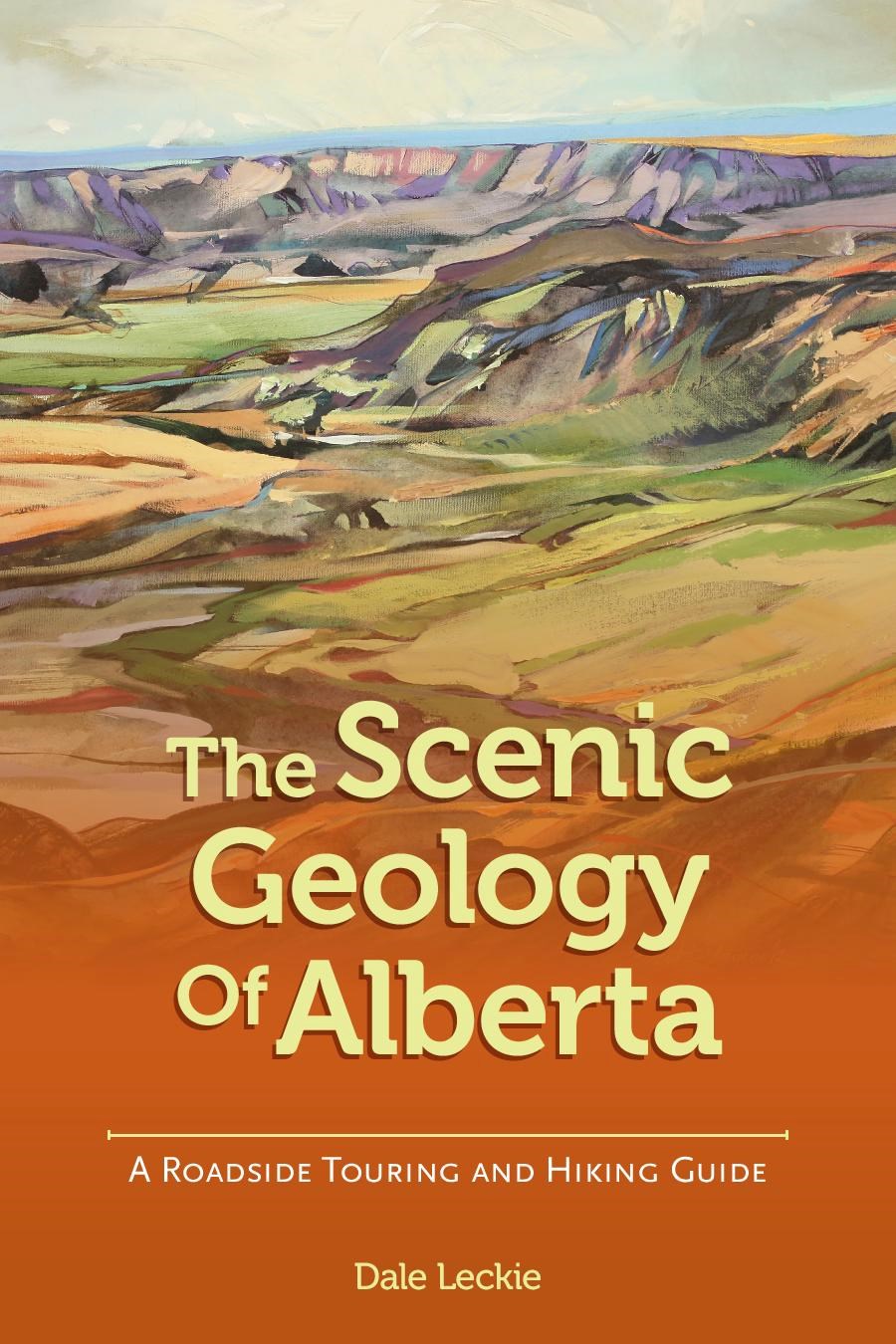
Leckie also blends art and science by including paintings of the many regions by Calgary-based artists, L.C. Cariou and Brent R. Laycock. Finally, the book's design, created by Calgary designer Sergio Gaytán, is attractive and easy to navigate.
As we move towards a more open summer, this guidebook has come along at the right time. Even if we still can’t do everything we usually would, we can always hit the open road and take the opportunity to learn more about Alberta.
While I began to discover Alberta beyond the Bow Valley bubble years ago, with Leckie’s guidebook in hand, I’m looking forward to summer road trips. After all, there’s a spectacular province out there, and The Scenic Geology of Alberta provides the inspiration and the assistance to visualize and understand the unreal forces that shaped Alberta.
The Scenic Geology of Alberta: A Roadside Touring and Hiking Guide, published by broken poplars publishing, is available for $27.95.


