
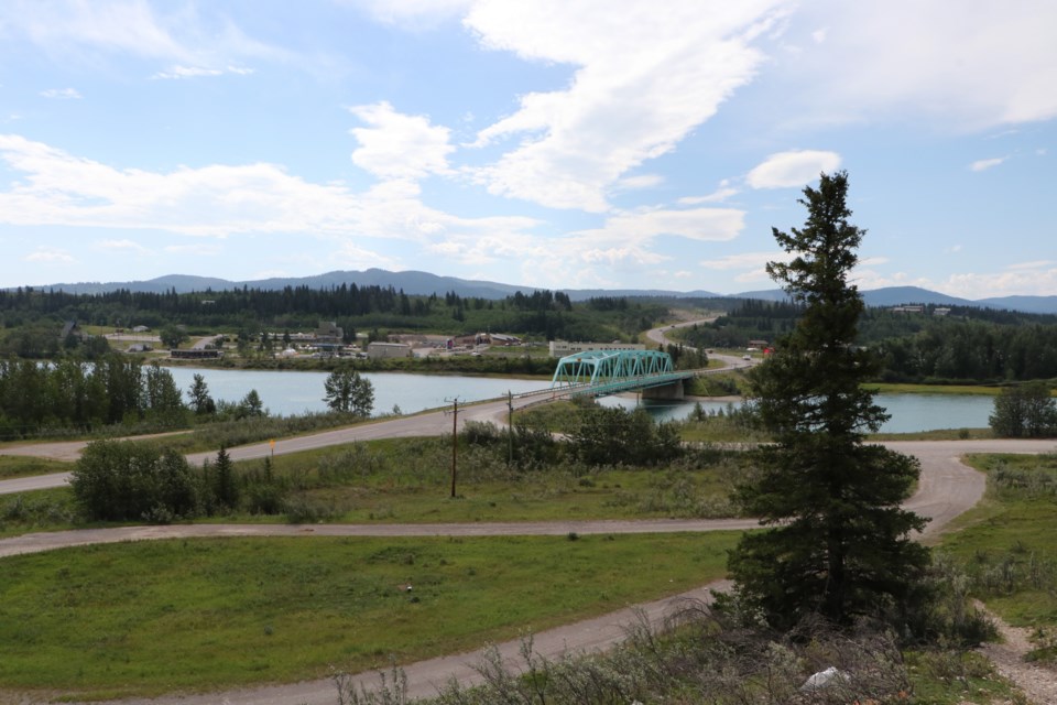
MÎNÎ THNÎ – Emergency response times for police, fire and EMS calls could improve by up to 20 minutes for those living on Îyarhe Nakoda (Stoney Nakoda) First Nation by early next year.
Nakoda Emergency Services has recently finished mapping houses and businesses in the Nation using a GIS platform, and local elders have named roads in Mînî Thnî, Big Horn, and Eden Valley as part of a 911 mapping project that has been ongoing since early 2020.
Îyarhe Nakoda First Nation doesn’t subscribe to 911 services. This means when a 911 call is made on the reserve, it is first sent to a dispatch centre outside of the area, where an operator determines how and where the call should be directed from there.
“That dispatcher would then have to transfer the call to the appropriate dispatch centre, which in the case of Mînî Thnî would be Calgary,” said Nakoda EMS manager Janna Hart, who added this process can lead to significant delays in accessing police, fire and EMS.
“Stoney Nakoda Nation leaders are committed to providing fast and equal access to emergency services for their community members,” she said. “By subscribing the community to 911, residents will see a marked improvement in response time, up to around 20 minutes.”
Unnamed roads with no locational signage and non-numbered houses on the reserve can create further challenges for first responders trying to find the scene of an emergency. In a life and death situation, this becomes a major problem.
To address this, the second phase of the 911 mapping project involves Stoney elders from all three bands – Chiniki, Bearspaw and Goodstoney – naming roads on the reserve that were previously nameless as well as the installation of house numbers near front doors and on posts at the entrance of long driveways.
The roads have been given Stoney names. Once signs are in place, they will include road names in both the Stoney language and its translation into English.
“The names were chosen based on the history of the area, elders’ stories, the flora and fauna, and the stories of elders who came before,” Hart said.
“So, for example, some of the road names could include Walking Buffalo Road or River Mouth Road.”
Once the new GIS mapping data is shared with 911 dispatch and TELUS, emergency responders will have access to route management software to locate any given address. Systems such as Google Maps will also update their services based on the mapping data.
When complete, the project will also be of great use to the community’s own emergency response. Stoney Nakoda First Nation has two of its own ambulances that serve the Nation and the Bow Valley area, as well as an RCMP detachment and fire service.
To reach the Nation’s emergency services in Mînî Thnî, residents are asked to call 403-932-2222 from a landline that starts with the area code. If an emergency call is being made from a cell phone in the area, it is recommended the user dial 911.
House numbers are currently being installed and soon, road signage will begin to go up.
Once the mapping project is finished in early 2023, making a call to 911 from Stoney Nakoda should be less convoluted and those in need of response will be subject to fewer delays.


