
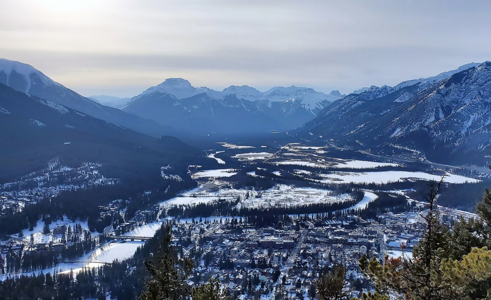
BANFF – Coming out of the deep freeze in mid-January, the Bow Valley has broken temperature records this week in what is typically one of the coldest months of the year.
On Monday (Jan. 29), Banff hit 10.7 Celsius, breaking the old record of 10.6 C set in 1931. Records for this area have been kept since 1887.
Banff also broke the temperature record Tuesday (Jan. 30), reaching 10.4 C by early morning. The record was 10.0 C in 1962.
“It looks like at least so far today at 6 a.m. in the morning we hit 10.4,” said Alysa Pederson, a meteorologist with Environment Canada on Tuesday
Bow Valley Provincial Park also set a new record Monday, reaching 13.5 C. The old record was 12.8 C set in 1931. Records for the area date back to 1928.
According to Environment Canada, the mean temperature for January was minus 10.7 C.
“That would be mostly because there's that stretch of about five days earlier this month with overnight lows in the minus 30s and 40s mid-month,” said Pederson.
“That really brings that average down.”
Pederson said Banff has seen much less precipitation for January compared to normal.
She said so far, 11.4 millimetres of precipitation has fallen in the Banff area, compared to the average January precipitation of 29.1 mm.
“Aside from the last couple of days, most of that would have been snow,” she said.
“But with temperatures like this, the snow levels are a little bit higher with this warm air pushing in.”
The month of December for Banff was the sixth warmest on record out of 135 years of data.
Average temperatures were 5.2 C degrees warmer than normal. The mean monthly temperature for December is typically -9.2 C, whereas December 2023 was -4 C.
Currently, at Lake Louise, the sculptures for the Ice Magic festival are melting, and outdoor ice rinks are turning to slush.
Pederson said the weather this season is associated with El Niño.
It is a climate pattern associated with warming of the ocean surface temperatures in the central and eastern tropical Pacific Ocean, which can significantly influence weather patterns and ocean conditions worldwide.
In Canada, typically, El Niño winters see an influx of mild Pacific air across most of Canada rather than harsh Arctic air, resulting in a lack of consistent, severe cold weather.
“Generally we get a warmer and drier pattern in an El Niño year and this year we have a very strong El Niño in place,” said Pederson.
“It’s similar to 2015 and the one in 1997 – that’s essentially exactly what we've been seeing."
Pederson said the next couple of weeks will see colder temperatures, with rain forecast at the end of the week turning into snow.
“Flurries into Saturday and Sunday and the temperature is going to drop into the minuses again,” she said. “It’s around -3 C.”
Several other areas in Alberta also broke records for the warmest Jan. 29 on record, including Crowsnest Pass, Breton, Beaverlodge, Grande Prairie and Stony Plain among others. Nordegg was the hottest at 15.9 C.


