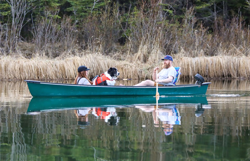
BOW VALLEY – The May long weekend often brings snow instead of sun – but not this coming Victoria Day weekend.
According to Environment Canada’s current seven-day forecast, Canmore will see the mercury soar from mid 20s Celsius to 29 Celsius on Friday, May 19, and Saturday, May 20, before dropping to 27 C on Sunday, May 21, with a 30 per cent chance of rain.
Sarah Hoffman, a meteorologist for Environment and Climate Change Canada, said temperatures for Banff, Canmore and Kananaskis Country are expected to be well above normal, but no heat warnings are expected at this time.
“Starting at the end of this week, we have that heat build right back up without skipping a beat,” she said.
On Tuesday morning (May 16), a special air quality statement was issued for Banff, Canmore and Kananaskis Country because of smoke form wildfires in central and northern Alberta.
"Smoke is causing or expected to cause poor air quality and reduced visibility," according to the Environment Canada warning. "Air quality conditions are expected to improve on Wednesday."
While above average, warm weather for this part of the province over the weekend (May 13 and 14) did not see any records broken, although further north in the province Fort Chipewyan, Fort McMurray, Grande Prairie, Grande Cache and Beaverlodge set new records.
Closer to home, Jasper broke a temperature record on Sunday (May 14).
“The new record is 28.1 C and the old record was 26.3 C,” said Hoffman.
“The old record was set in 1993 and the records began in 1916 for Jasper.”
For Tuesday, May 16, Environment Canada is predicting a high of 26 C, with a 30 per cent chance of showers and a risk of a thunderstorm in the afternoon.
Hoffman said the normal daytime high for this time of year is 14 C.
“It’s kind of an interesting little while here,” she said, noting Tuesday and Wednesday will be gusty days.
“We have some unsettled conditions for Canmore but we’ll still be a bit above normal.”
Meanwhile, the average fire danger throughout the Calgary Forest Area (CFA), which includes areas in the Bow Valley east of Banff National Park, Kananaskis Country and Stoney Nakoda, is now classified very high.
Anastasia Drummond, wildfire information officer with CFA, said the region received moderate rain over the past week, but persistent very warm and dry conditions are already pushing up the wildfire danger.
“Now that green-up is underway, it will help to moderate the wildfire danger, but until we receive more precipitation, we will continue to see a climb,” she said in a release.
A fire ban and off-highway-vehicle restriction remain in place across the province’s fire protection areas.
“Over the weekend, our crews were responding to several reports of smoke,” said Drummond.
“Many of these reports turned out to be attended, unattended or abandoned campfires.”
The CFA has responded to 14 wildfires this season. “All have been extinguished,” said Drummond.
Province-wide, there have been 465 wildfires recorded in the forest protection area of Alberta that have burned 531,877 hectares since Jan. 1.
Alberta is under a provincial state of emergency due to wildfires, with 19,342 people currently evacuated from their homes.
There are presently 90 active wildfires in the forest protection area – 23 are classified as out of control, 18 are being held and 49 are under control. For the latest information about wildfires go to: www.alberta.ca/wildfire-status.


