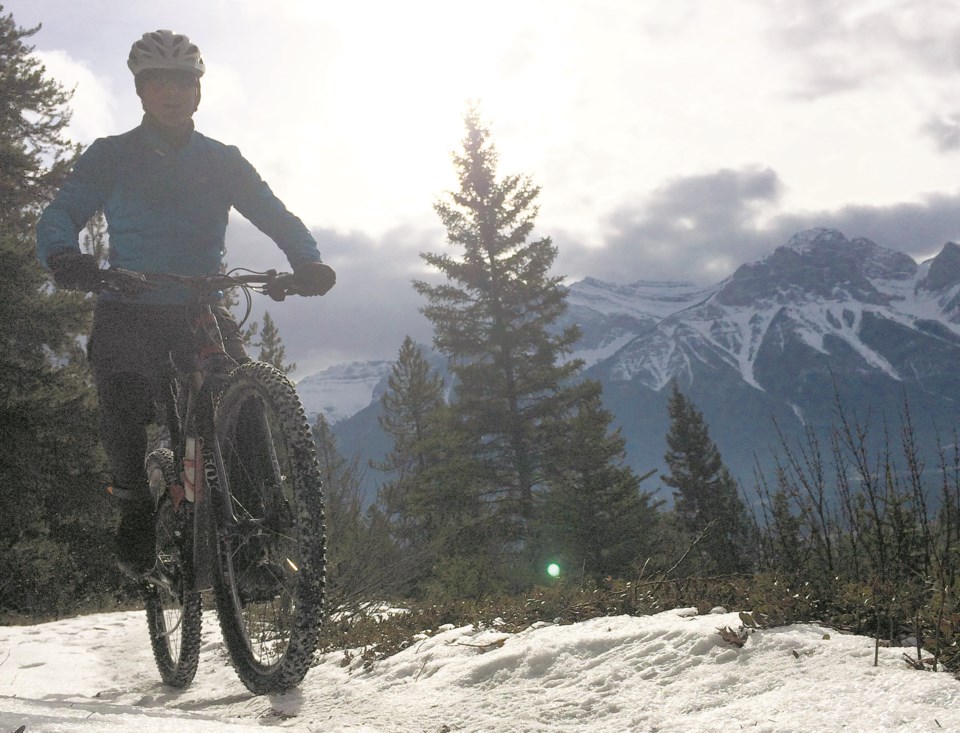
BANFF – New research shows many trails in Alberta and southern B.C. are unmapped and unmanaged, leading to potential conflicts with wildlife and among outdoor recreation user groups.
Released by researchers at the University of Northern British Columbia and Canmore-based Yellowstone to Yukon (Y2Y) Conservation Initiative, the research shows at least 24 per cent of trails – about 6,000 kilometres worth of trails – in the 23,000-square-kilometre study area are not documented by governments.
Annie Loosen, project lead and post-doctoral researcher for the university and Y2Y, said these findings suggest there is a staggering knowledge gap, adding that knowing trail locations is an essential part of effective recreation, planning, conservation and human safety.
Her initial research was ultimately inspired by the explosion in outdoor recreation and the need to manage it, and she said the report aims to help form a more complete picture of how many people recreate and use trails inside and outside protected areas, as well as where, when and how they recreate.
“Outdoor recreation and tourism are really important in a lot of ways, and economically one in four new jobs globally are in this sector, so there’s a clear desire for recreation, but at the same time recreation is the fourth leading threat to at-risk species in North America,” she said.
“We have this keen interest to be recreating, but at the same time building understanding that recreation does pose a threat to specific species and then underlining concerns about the sustainability of growth in recreation.”
The research study area included Banff, Yoho, Kootenay and Revelstoke-Glacier national parks as well as Kananaskis Country, which contains five provincial parks and four wildland provincial parks. The study area also took in the Ghost public land use area and the Purcell wilderness conservancy.
In total, the researchers mapped 53,400 km of trails, gravel roads, cutlines, pipelines, and transmission lines likely used for recreation.
They used government data as well as datasets within regional recreation user groups such as snowmobiling, mountaineering or hiking groups, plus trail apps and trail mapping and management websites.
“This report highlights that there is a hole in our understanding of how people use recreation trails and where they’re located,” said Loosen.
Outdoor recreation impacts on wildlife can vary depending on the type of activity, timing, intensity, location, and the length of the activity.
Past studies suggest wildlife behaviour can change in response to certain types of recreation, and in some cases noise and physical disturbance can elicit a fear response in wildlife and push them out of areas.
By understanding which trails overlap with important wildlife habitats, researchers say people can decrease competition with wildlife for space while also reducing potential for conflicts between user groups such as hikers and bikers.
Loosen said documenting this overlap will also help government staff and planners make decisions that benefit both people and wildlife.
“To manage, plan for, and mitigate these impacts, we need to know where people are recreating and which activities they participate in,” she said.
Reid Thomas, director of Forest Matters Communication Society, one of the participants in the research, said the study is a fact-based report that is a clear, compelling call to action.
“Outdoor enthusiasts who want to conserve quality recreation opportunities for future generations should find the report helpful to refine their ideas and recommendations for improving recreation management on public lands,” he said in a news release.
“The government of Alberta, hopefully, will be inspired by the report and resume sub-regional landscape management planning efforts in the Eastern Slopes study area and throughout the rest of Alberta’s public forested lands.”
A spokesperson for the Alberta government said the province recognizes the importance of having high-quality data on Crown land recreational trails and continues to improve maps and spatial data for users as part of implementing a sustainable trail management system.
Karl Kopan, communications advisor, said trail management planning is underway for several trails and trail networks on public lands in the eastern slopes.
“Using information gathered from a variety of external sources and recreational partners, work is taking place to identify existing recreational trails and their current use while identifying a variety of future trails and trail improvement opportunities,” he said in an email.
Kopan said the Trails Act and Public Lands Act and regulations updated the tools used to manage trails on public land, which he said will improve recreational experiences and help mitigate impacts to the environment.
“They also establish the foundation for a sustainable trail management system on public land; allow trails to be designated for specific uses such as hiking or riding an off-highway vehicle; enable improved trail planning and strengthen protection of trails; and facilitate a larger role for partners in maintaining trails,” he said.


