
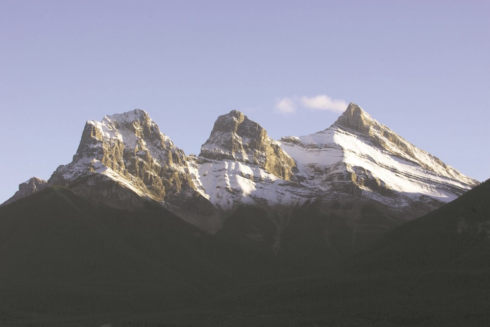
BOW VALLEY – It may only be late September, but it appears winter is coming.
Environment Canada is warning that two weather systems are expected to move through the Canmore and Kananaskis region and result in a significant winter storm.
Anywhere from 15 to 30 cm of heavy, wet snow is expected, as the two weather systems pass through the Bow Valley starting Friday night (Sept. 27), according to Environment Canada meteorologist Kyle Fougère.
“This is going to be a very significant winter storm – even though it’s occurring in the fall,” said Fougère.
“What we have is a potent weather system that is going to be forming. We actually have two; the first one is going to move through, basically, Thursday into Friday and drag cold air across the province, which is why we’re going to see a bit of a drastic change from what we’ve seen so far this month.”
Fougère said by Saturday, the forecasted temperature for Canmore is -3 C.
“So as the second low pressure system develops, precipitation is going to spread over the area and of course with the cold, air it’s going to be turning over into the form of snow,” he said.
While cold air is moving through Canmore and Kananaskis already, the snow isn’t expected to start until Friday evening and last until likely Monday (Sept. 30) until it tapers off.
“We’re expecting fairly widespread snowfall amounts of 15 to 30 cm along the Alberta foothills and into the mountain parks, although there is the potential for even higher amounts,” said Fougère.
“You have one low pressure system that kind of moves through fairly quickly and then a large Wyoming low pressure system develop Saturday and then slowly move across into Sunday and Monday.”
According to the Environment Canada website, the extreme southwest corner of the province could see even more snow.
“For the extreme southwest corner of the province, upslope flow will enhance snowfall along higher terrain with localized snowfall totals of over 50 cm possible by Monday,” the winter storm watch alert reads.
Fougère said if travels plans are on the docket for the weekend, reconsidering those plans may be your best option.
“It’s really important that if anyone has any travel plans or they plan to go anywhere this weekend, they should really stay tuned with the weather because there’s going to be such a drastic change,” he said.
“Travel conditions are expected to be very poor. With these fall systems, we tend to get really heavy, wet snow and so that has the potential to cause impact on infrastructure.”
Drivers are also reminded that snow can accumulate quickly and reduce visibility, and that posted speed limits are the maximum intended for summer conditions. Drivers are encouraged to have winter or all-weather tires on their vehicles and to activate headlights, to tail lights are visible to drivers from behind. As well, all vehicles should have a winter emergency kit during winter months.
Heavy wet snow can often put extra weight on tree branches causing them to crack and fall. As well, Fougère said it is difficult to clear this type of snow, so anyone with health issues should take caution, including taking extra breaks when clearing accumulated snow from sidewalks and driveways.
For more information on weather alerts, visit Environment Canada’s website. For up to date road conditions, call 511 (in Alberta), follow @511Alberta or visit 511.alberta.ca. For road condition in B.C. go to Drive BC's website.


